
Distance: 12.5km Elevation Gain: 1320m Total Elevation: 1630m
Parking: Paid Parking in Town. There is a good parking lot near the community centre that generally has open parking.
Dogs: No
Summary: Same process as Ben Lomond to the Saddle. From the saddle follow the Moonlight track over the saddle and follow goat tracks to the summit of Bowen peak. This is not an official trail and it’s important to respect the more fragile ecosystem of the upper mountain.
1. Follow the Tiki Track from the bottom of the Skyline Gondola to the upper gondola.
2. Follow the paved track along the Luge to the Ben Lomond Track. This broad, well maintained track takes you to the saddle of Ben Lomond and Bowen Peak. 3.5km from the Gondola.
3. Follow the Moonlight track until you are under the ridge of Bowen Peak (Short Distance)
4. Follow goat tracks or bushwhack up easy, tussock covered terrain to the summit
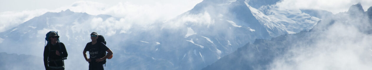
This was an alternative to summiting Ben Lomond for the second time. The peak itself is a little shorter and closer to the saddle but I found the track up to the summit a little unpleasant compared to it’s popular neighbour. It was about 1km and 400m elevation gain from the Ben Lomond saddle. When I made my way up there the mountain still had a decent amount of snow to move through. The benefit of this was that it saved a bit of navigating through the brush, which can be generally tedious.
The views from Bowen Peak are much the same as what you will see on Ben Lomond but gives a better view into the Arthurs Point Region. To the North-West you get good views of the skippers creek area and on a good day can see some of the mightier mountains found near Mount Aspiring.